








Measurements and annotations

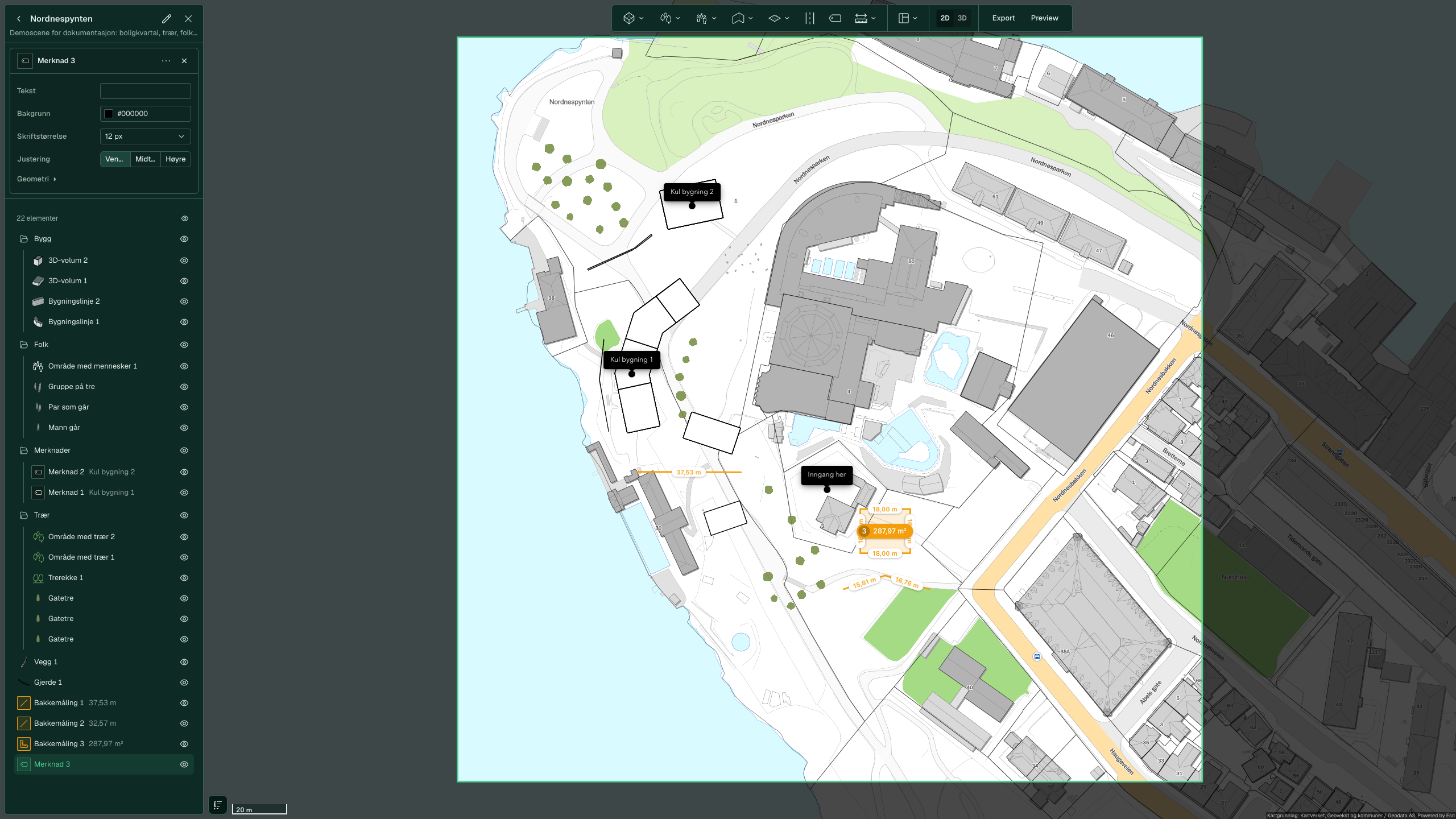
Here you measure a distance or an area in the scene and place a text label on a point. The measurements appear in the element list, and the annotation appears in the map.
Measure a distance
-
Click Measure and choose Distance.
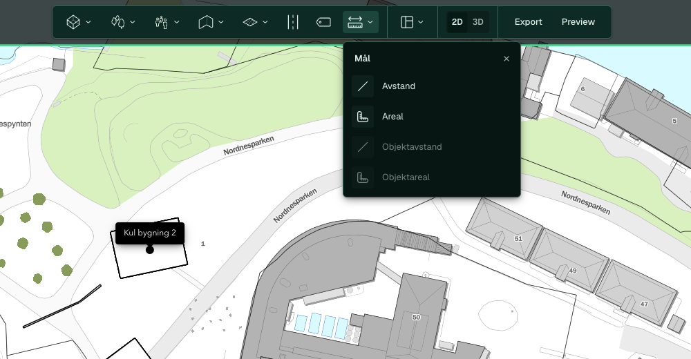
-
Click the points along the route. Each segment shows its length while you draw, and “Total length” appears in the card next to the pointer.
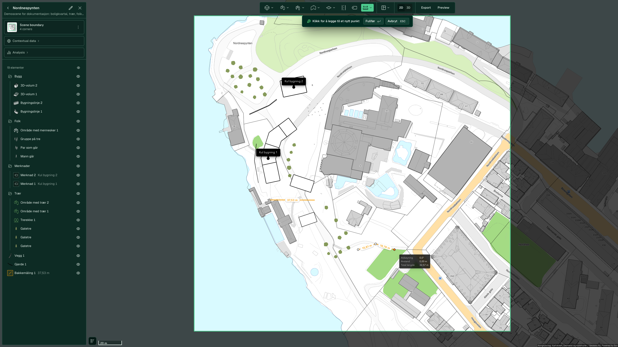
-
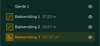
Press Enter. The line becomes a row called “Ground measurement” with a number, and the row shows the total length in metres.


Measure an area
-
Click Measure and choose Area.
-
Click the corners around the surface and press Enter.
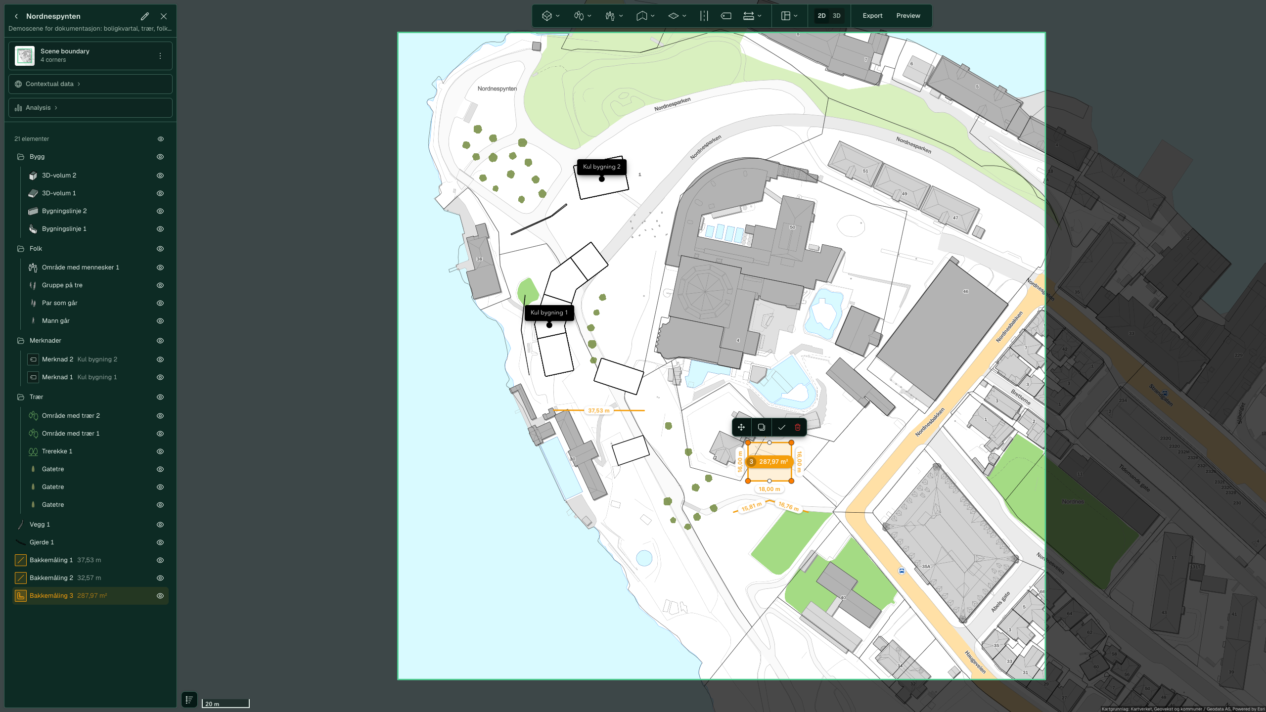
-
The “Ground measurement” row shows the area in m². Each edge shows its length in the map.


Add an annotation
-
Click Annotation. The tool is ready straight away.
-
Click the point in the map where you want the text.
-
Type the text, for example “Entrance here”. The field accepts keyboard input straight away.
-
Click Done.

In 3D, the text floats above the point on a line.

You change the background colour, font size and alignment in the panel. Click the annotation's row in the element list to open it. See Annotations and measurements.

Advanced
In 3D, you measure the distance between two points on roofs or walls with Object distance. Click the two points. The map shows the direct, horizontal and vertical distance, and the row is called “Measurement” with a number. To finish, click the tick (Finish editing) in the toolbar that floats above the map.

See also
- All tools and settings for annotation settings
- Surroundings for trees, fences and roads
- Scenes, folders and saving for folders and saving